AnnABEL's Theorem
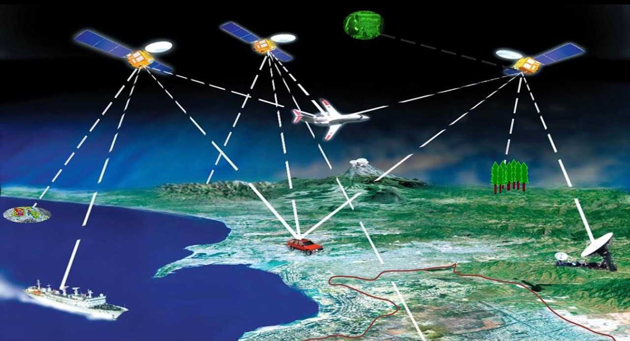
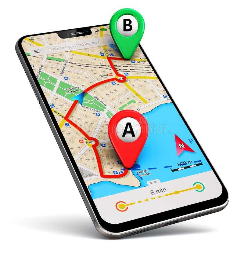
Have you ever gotten lost trying to find an address? Have you ever been annoyed by the voice on your phone telling you to “Turn left in 100 ft.” when in reality there is no street to turn into? When you find an address using your phone, have you ever wondered where that information comes from? I think we all have. GPS (Global Positioning System) is a system composed of a fleet of about 24 satellites put into orbit and maintained by the U.S. Department of defense. This technology is used to find a position on Earth by using a mathematical technique, called trilateration. Trilateration uses about 3 satellites, at any given time, to determine an object’s speed, elevation, and position. Most electronic devices come with a built-in GPS chip and use Wi-Fi networks and cellphone towers to enhance location accuracy and calculate its position. Even though GPS is a highly sophisticated system, it is far from perfect! It is not uncommon for it to malfunction when a navigator cannot receive sufficient satellite data or when signals move too slowly due to atmospheric irregularities in the troposphere and ionosphere. This, in turn, can output inaccuracies in location calculations which can cause serious problems in navigation and aviation in addition to unnecessary stress and frustration.

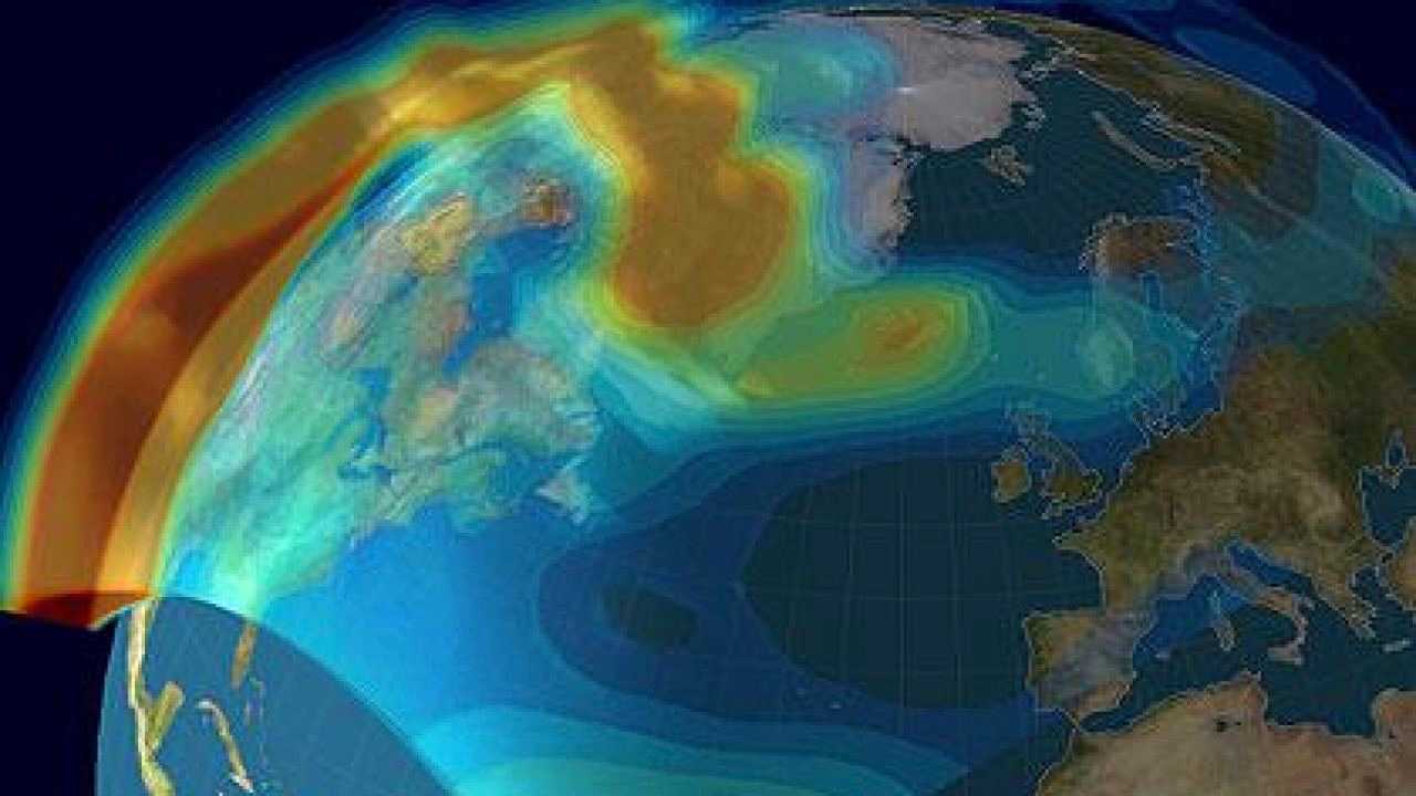
There are multiple ways to refine GPS functionality. One of these ways is to improve its accuracy. Over the last several months, I have been conducting research at the NASA Jet Propulsion Laboratory (JPL), under the mentorship of JPL senior research technologist Dr. Xiaoqing Pi. Our research involves using machine-learning to increase the integrity of navigation and communication signals. More specifically, we work on studying and predicting ionospheric irregularities triggered by geomagnetic storms, plasma convection, and associate dynamics in the high-latitude ionosphere. Our goal is to reduce signal reception interruptions, caused by solar activity such as solar flares and coronal mass ejections. We aim to increase the accuracy of technology applications that rely on the Global Navigation Satellite System and GPS data. My individual contributions include developing and applying Python-based machine learning to improve navigation and communication signal integrity. I am responsible for downloading, analyzing, and processing various sets of GPS and magnetometer data using Python programs, which I write from scratch. Once the data is pre-processed, I run it through several machine-learning algorithms that I’ve developed, to predict the time, location, and intensity of these ionospheric irregularities. After the predictions are generated, I analyze their accuracy by calculating their correlations against historical data. The goal is for these algorithms, once implemented, to accurately predict ionospheric irregularities, under various geophysical and space weather conditions, in real time, reducing the impact of ionospheric scintillation on receptions of GNSS signals and data; thus improving navigation systems.
As this research continues to evolve and the accuracy of these predictions increases, GPS malfunctions could potentially be a problem of the past! Devices and technology could be engineered to take the above predictions into account and adapt their outputs accordingly, making them more accurate and reliable. Hopefully, next time you use GPS to find directions to the nearest boba shop, you’ll get there on a timely manner and without getting lost!


